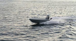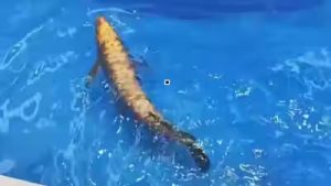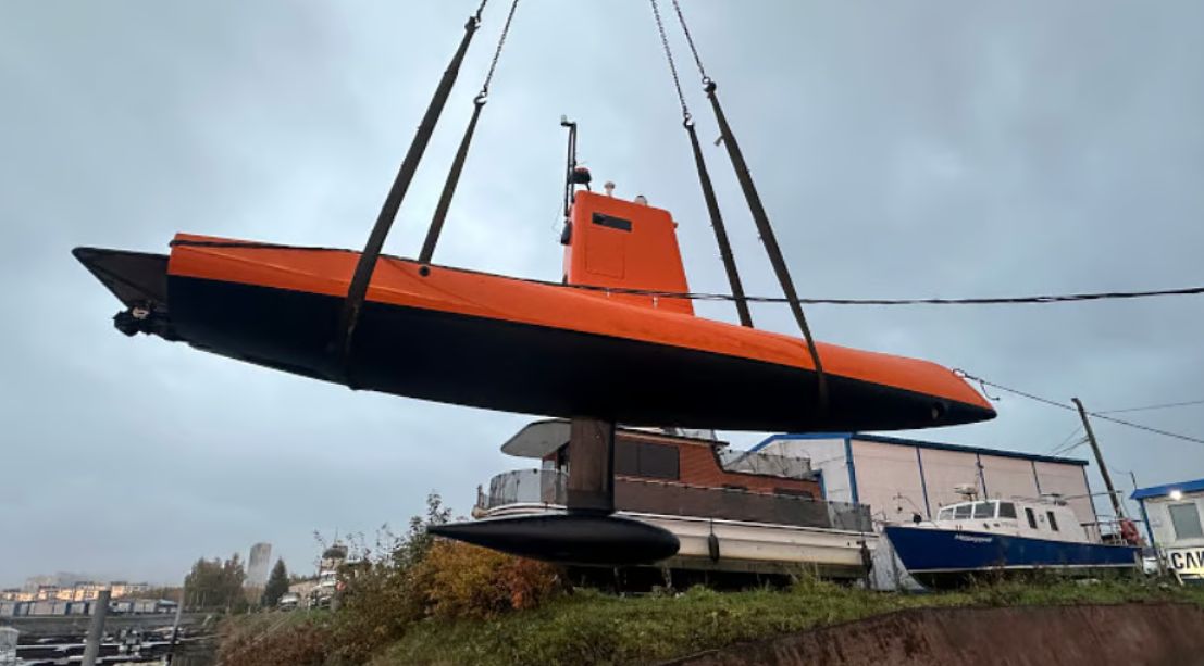
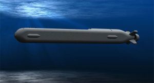

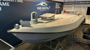
Other features: Designed for hydrographic surveys and seabed mapping, the craft is operated via shore-based LTE or long-range radio links, switching to autonomous path-following mode during active surveys. It is equipped with an in-house Navis dynamic positioning system, inertial navigation system, multibeam echosounder, sonar, and GPS, with options to add lidar, radar, or thermal cameras.